Move from site visit to client-ready design without the months of charrette work. EcoDesign combines AI agents trained in permaculture, an algorithmic geometry engine, and curated ecological databases — so your output is defensible, not just pretty.
Every recommendation is grounded in your site's real soil profile, climate data, and topography — not generic permaculture templates. When a client asks "why these species?" or "why this floor plan orientation?", you have the data to answer.
Drop a pin, set boundaries, answer a short brief. EcoDesign pulls climate (Open-Meteo), soil (SoilGrids ISRIC), topography, and water-table data automatically — no manual research.
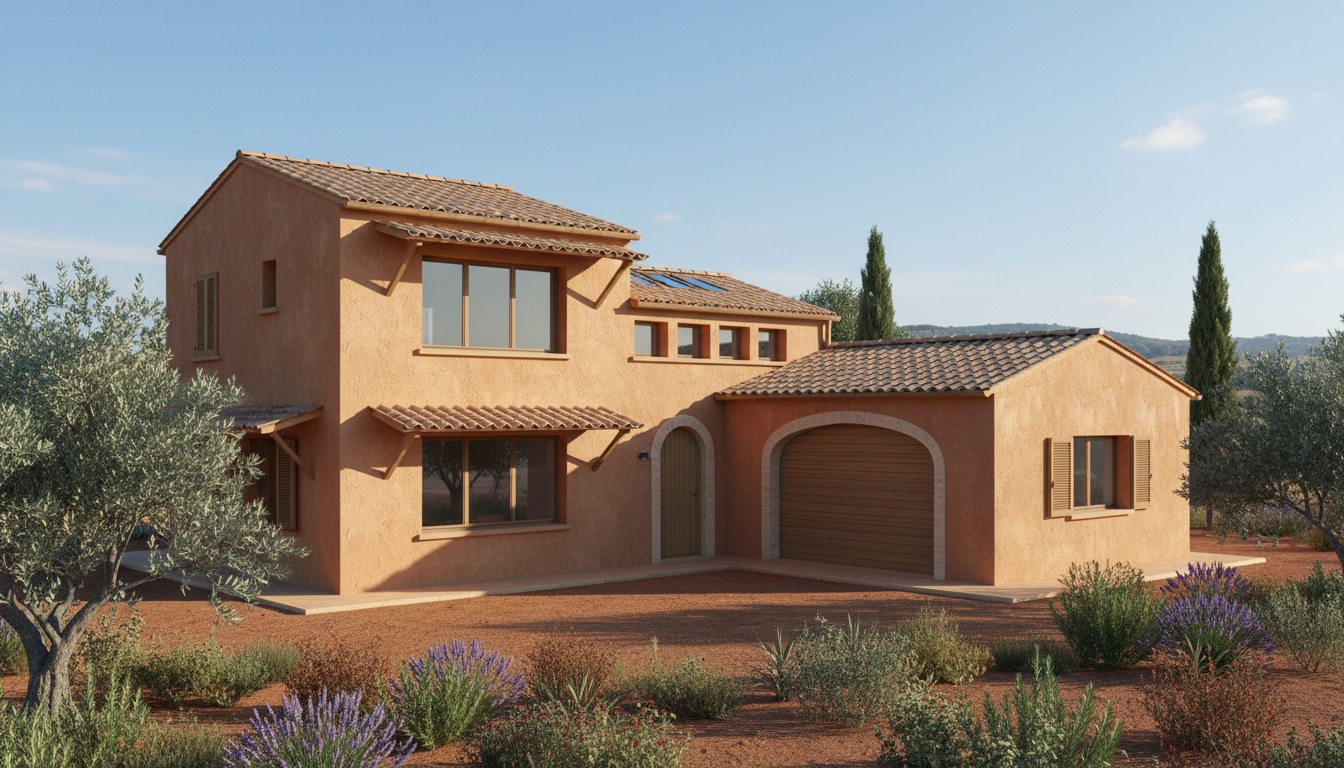
Generate climate-responsive building layouts with 6-tier constraint priority. Algorithmic geometry (not LLM) produces thermal zones, glazing ratios, and stairwell-aligned multi-story plans.
10-agent pipeline pulls from 600+ flora records with real synergy and conflict data. Visualize guilds at year 1, year 3, maturity — and in spring or autumn — with Gemini-rendered views.
Contour mapping, slope analysis, sector analysis (sun, wind, fire) — all built into project settings, all feeding into every downstream module.
Rainwater calculator, swale and pond placement guidance, hydrology-aware site planning. Your water strategy is computed, not eyeballed.
Every flora, fauna, structure, technology, garden type, and practice you select for a project is saved — searchable, exportable, ready for the next design phase.
Floor-plan geometry is generated with deterministic algorithms and validated by Shapely — because LLMs are unreliable for spatial reasoning. AI handles topology and recommendations; algorithms handle the layout. When something doesn't fit, it tells you instead of pretending it does.
AI-rendered visualizations for buildings (Gemini 2.5 Flash Image), landscapes, and plant guilds. Six guild visualization presets — mature, year 1, year 3, spring, autumn, plan view — so you're never showing a static plant list to a stakeholder.
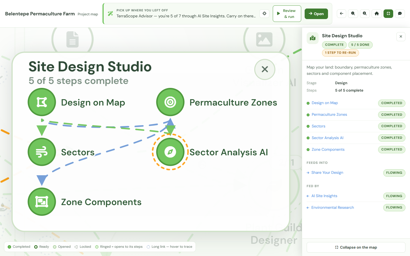
Click any step on the project map and a panel opens with its status, when it ran, and the real output the AI agent produced — together with the steps that fed it and the steps it feeds. When a client asks where a recommendation came from, you walk them back along that chain instead of handing over a PDF appendix: the soil and climate research that grounded the design, the design that grounds the build. Every completed step carries its own evidence, one click away.
The whole map is drawn on a free project, locked steps included, so you can show a prospective client the shape of the work before either of you has paid for any of it.
Free account with credits for every module. No card. No watermarks. Just sign up and design.
Create your free account EcoDesign