Photograph a pest for instant triage. Get irrigation schedules from real ET₀ and VPD. Plan crop rotations from your actual soil and topography. Follow a duration-flexible transition coach from conventional toward regenerative. Six mobile-first modules, one Farmer Hub.
Each module is mobile-first because you're not at a desk. Tap, photograph, voice-input — get a defensible recommendation grounded in your farm's actual soil, weather, and crop data.
Upload a photo. Kindwise identifies the species. Our agent recommends IPM-first responses — beneficials, cultural controls, biological — with chemicals only as a last resort.
Frost warnings, heat-stress alerts, optimal sowing windows — pulled from Open-Meteo's extended dataset, contextualized to your crops.
Real ET₀ and VPD data, your soil's water-holding capacity, your crop's growth stage — combined into a precise weekly irrigation schedule.
SoilGrids ISRIC baseline data plus your own measurements. Get amendment recommendations tied to your specific N/P/K, salinity, and structure profile.
14+1 goals across Sustainability and Livelihood. Flexible duration: 90 days, 6 months, or 1 year. Phased plan with weekly or monthly check-ins, PDF export, session history.
Choose from 8 subcategories matching real flora data. Score-based suitability across temperature, rainfall, pH, drought, drainage. AI suggests crops we don't have yet — you can request them.
Snap one or two photos in the field. Our pest module identifies the species (Kindwise crop.health), checks your project context (region, climate, current season, crops planted), then produces an integrated response: beneficial predators to introduce, cultural controls to apply, and — only when needed — targeted chemical interventions with proper PPE and timing.
14+1 goals across two categories (Sustainability + Livelihood), in plain farmer language. Pick a duration that matches your reality — 90 days, 6 months, or 1 year — and the coach scales: phases, check-ins, and detail depth all adapt. Project settings auto-sync so your primary goals and design goals stay aligned.
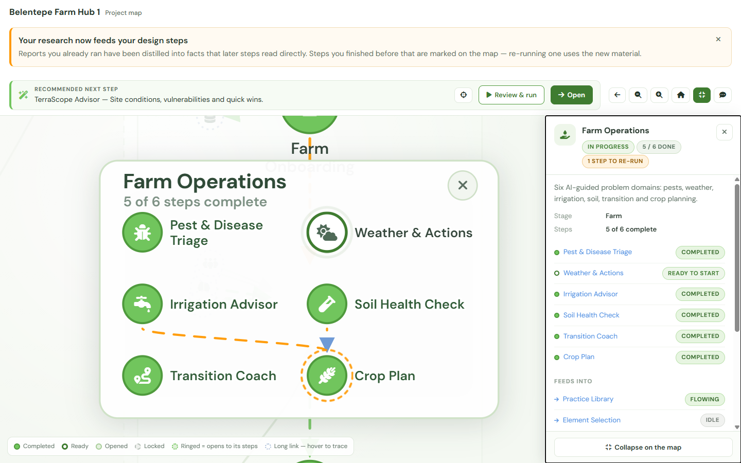
Your farm sessions sit on the same map as the site research and the design they came from, grouped into a cluster you can open in place without losing sight of the rest of the project. Come back after a season in the field and the map still knows where you left off: completed steps stay marked, and the ones that go stale on a clock are flagged as due — so last spring’s soil reading does not quietly become this spring’s baseline.
You do not need a subscription to see it. The map comes with every free project, farm steps included; the ones you have not unlocked are drawn in place with what they do, so nothing about your farm is hidden — only run — behind the unlock.
Six modules, 150 credits a cycle, mobile-first. No card needed to start. Cancel any time.
Start your free trial EcoDesign